3,205 mHeight
SorapissGroup
46.517°N12.217°E
Hides the turquoise Lago di Sorapis, one of the most popular hikes from Passo Tre Croci.
How to see it
The famous turquoise Lago di Sorapis lies at the foot of the Sorapiss, reached on path 215 from Passo Tre Croci. Allow about two hours each way, with some exposed sections secured with cables.
Where to stay
Cortina d’Ampezzo and Misurina. Compare the valleys in which Dolomites valley to stay in.
When to go
Summer and early autumn. The lake path is very busy in July and August: start early.
Good to know
Rifugio Vandelli stands near the lake and is a good place for lunch before the walk back.
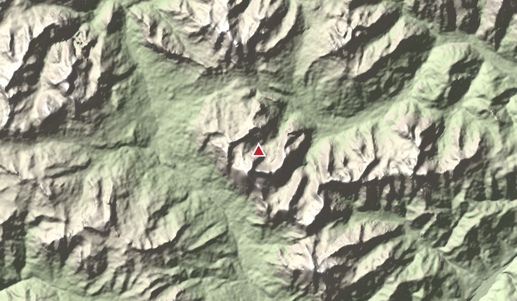
Nearby peaks
- Monte Cristallo 3,221 m
- Antelao 3,264 m
- Cadini di Misurina 2,839 m
Read next
Heights and access change: lifts, toll roads and huts have seasonal opening dates. Check locally before you go, and never go onto glaciers or exposed ground without the right experience or a guide.