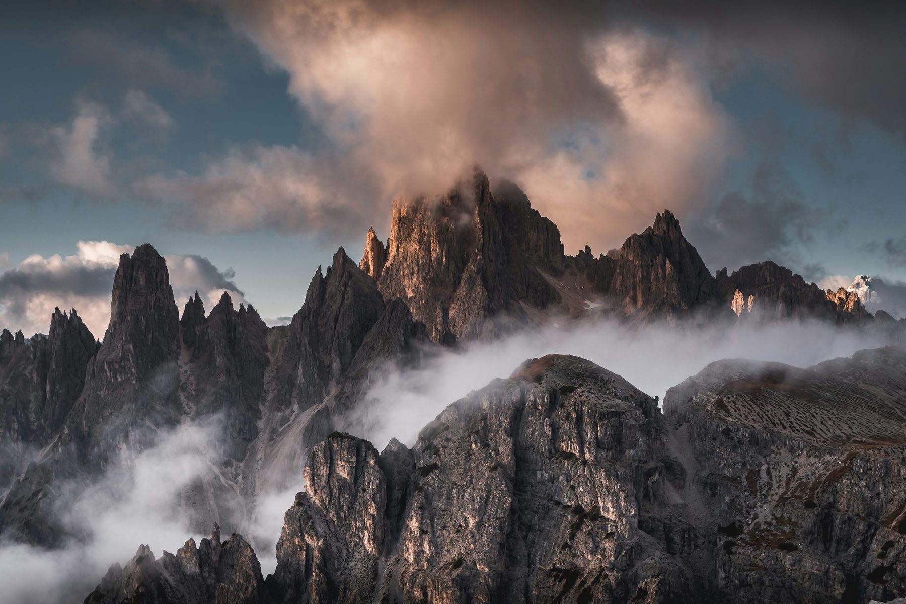
A forest of jagged spires above Lake Misurina, seen at its best from the Cadini viewpoint path.
How to see it
The famous viewpoint over the Cadini spires is a short but exposed walk from near Rifugio Auronzo, on the path towards Rifugio Fonda Savio. Lake Misurina below gives the classic reflection.
Where to stay
Misurina, Auronzo and Cortina d’Ampezzo. Compare the valleys in which Dolomites valley to stay in.
When to go
Summer and early autumn. The viewpoint path is narrow and very busy: go early, and keep well back from the edge.
Good to know
The Cadini are a maze of more than a dozen sharp summits, dominated by Cima Cadin di San Lucano.
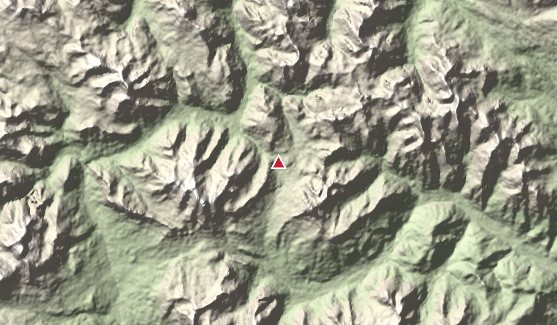
Nearby peaks
- Tre Cime di Lavaredo 2,999 m
- Monte Cristallo 3,221 m
- Sorapiss 3,205 m
Read next
Heights and access change: lifts, toll roads and huts have seasonal opening dates. Check locally before you go, and never go onto glaciers or exposed ground without the right experience or a guide.