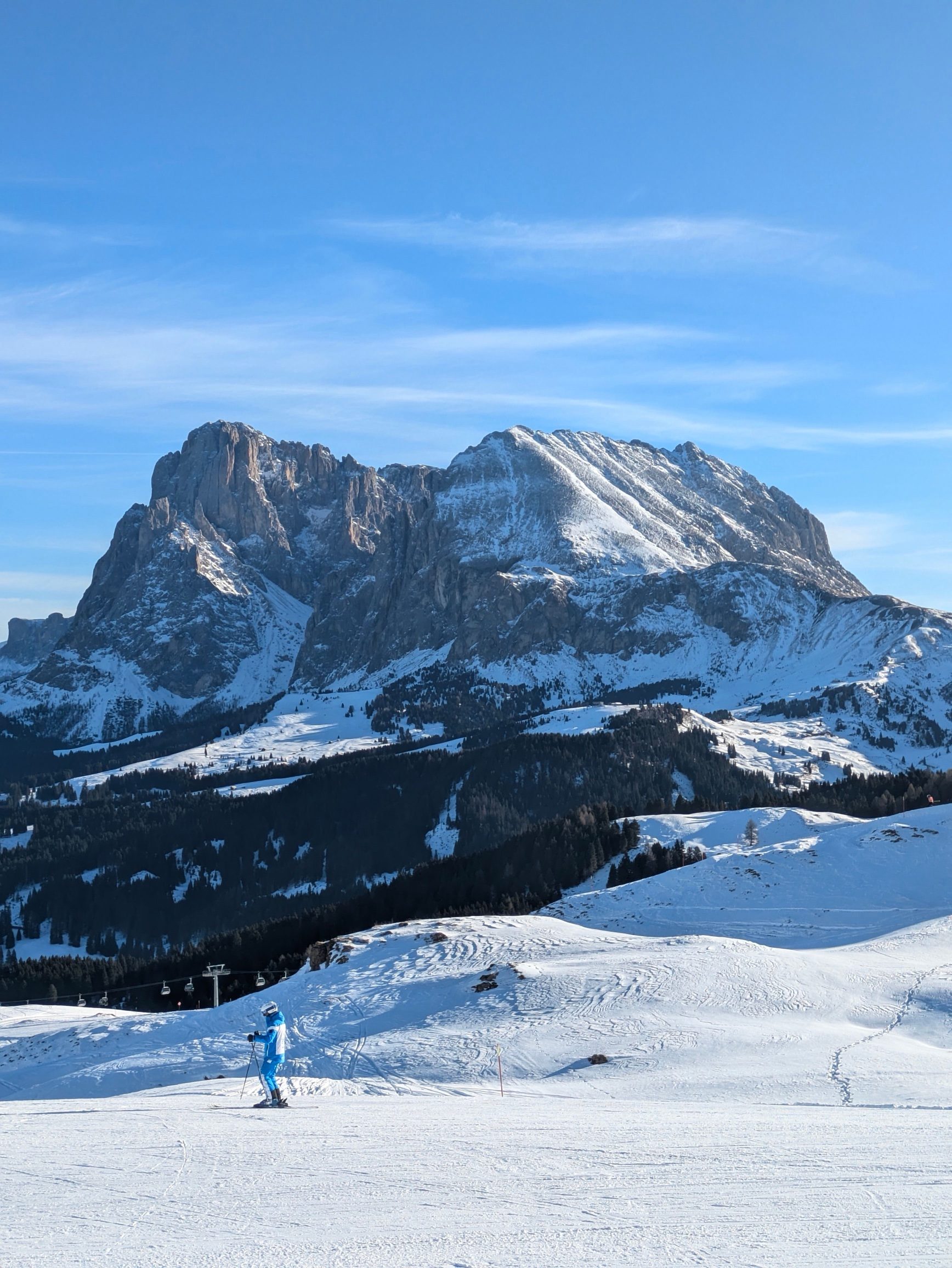
The flat-topped symbol of South Tyrol, rising above Alpe di Siusi and Castelrotto.
How to see it
The flat-topped Sciliar dominates the views from Alpe di Siusi and Castelrotto. Paths climb from the Alpe to Rifugio Bolzano on the summit plateau, below the highest point, Monte Pez.
Where to stay
Castelrotto, Siusi and Fiè allo Sciliar. Compare the valleys in which Dolomites valley to stay in.
When to go
Summer and autumn for the summit; in winter it is the backdrop to the gentle slopes of Alpe di Siusi.
Good to know
The Sciliar is the symbol of South Tyrol, and part of the Sciliar-Catinaccio nature park. The slender Santner spire stands at its western edge.
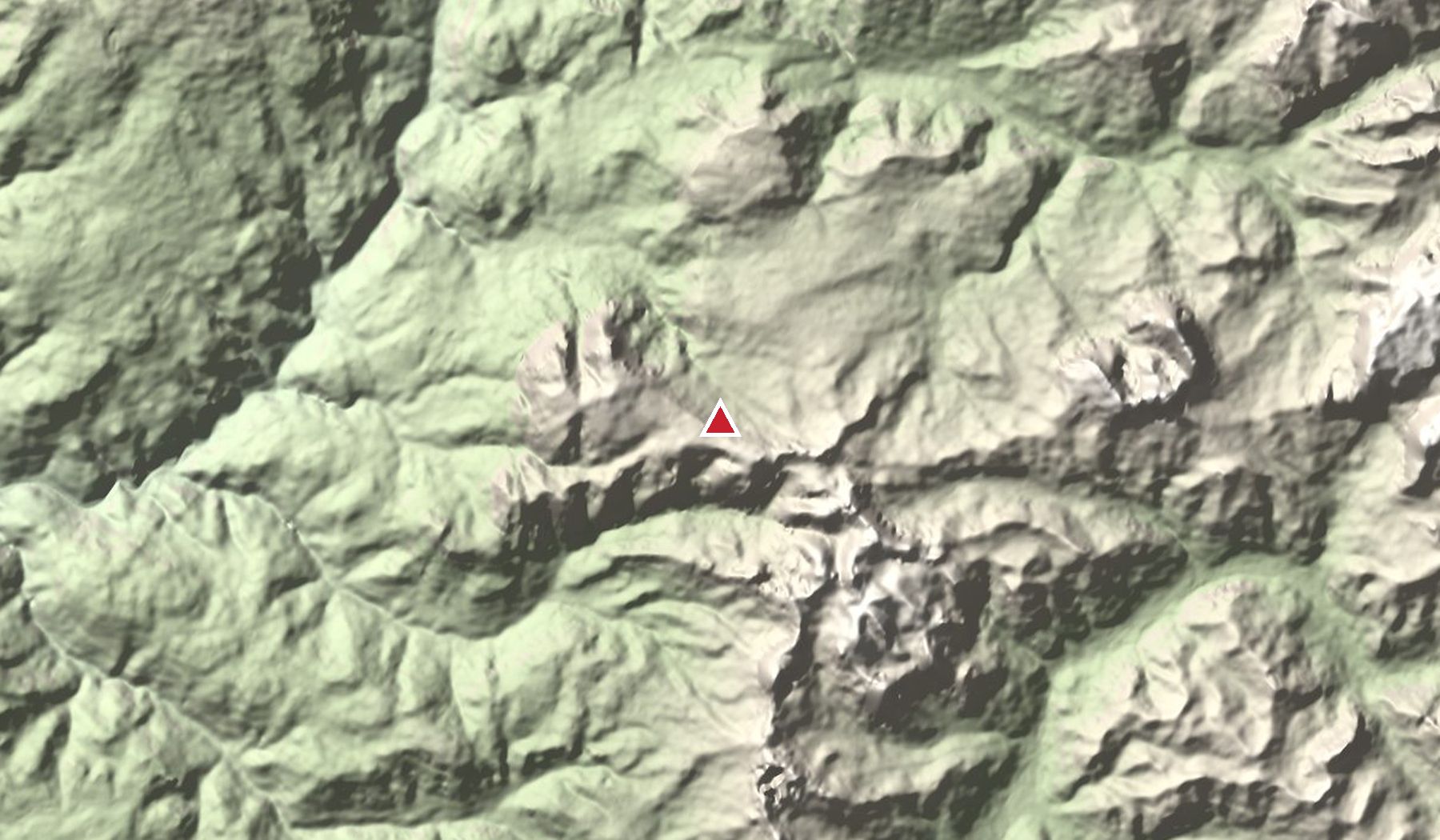
Nearby peaks
- Catinaccio · Rosengarten 2,981 m
- Sassolungo 3,181 m
- Seceda 2,519 m
Read next
Heights and access change: lifts, toll roads and huts have seasonal opening dates. Check locally before you go, and never go onto glaciers or exposed ground without the right experience or a guide.